GMap Editor v1 User Guide > Overlay > Country Shapes
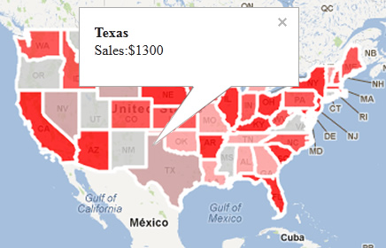
Add colored country shapes on Google map
Use Geographic Area Polygon Tool to create overlay region layer for geographic areas.
e.g. for creating colored states / counties of United States.

A Custom Google Map Sample using Geographic Area Polygon Tool
Geographic Area Polygon Tool
![]()

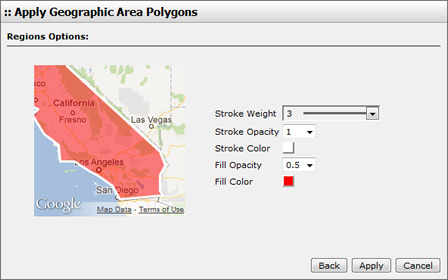
Edit settings for drawing regions
With Selection Tool, select a polygon,
you may change polygon settings in the dialogue.
Click Delete Polygon button in the dialogue to delete an area,
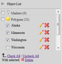
or select multiple polygon from the Object List on right side.

Select and delete multiple polygon from object list
[ Top of Page ]


