Features & Attributes for Regions:
- Clickable regions to open a web page with specified URL.
- Click / rollover to show information window.
- Customize region fill color / opacity / stroke weight.
- HTML / CSS inline style support for info window's content.
- Heat map generation.
Apply overlay polygons for geographical areas and boundaries
- iMapBuilder Online - Custom Google Map Editor let you easily add region overlay as layers on selected geographic areas.
-
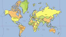
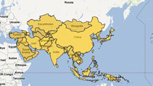
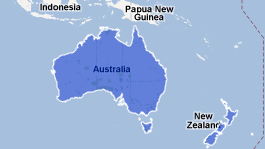
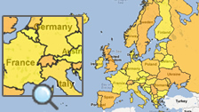
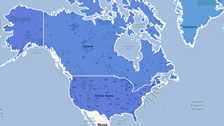
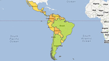
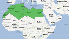
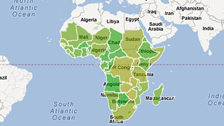
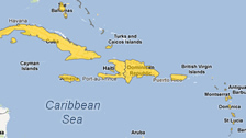
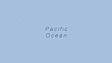
Currently available geographical areas include:
- World countries,
- Continents (Africa, Asia, Australia, Europe, North America)
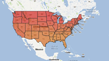
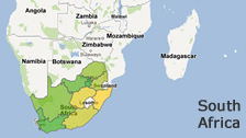
- Countries (United States, South Africa),
- U.S. counties and
- others e.g. (Caribbean, Latin America, Pacific Ocean) - You can enable the regional overlays by referring to this user guide:
How to add regional overlays (geographical polygons) on Google Maps. - More geographic area polygons will be supported soon. Contact us for any specific overlay request.
A Map Sample created using Geographic Area Polygon Overlay Feature: Colored United States Map
![]()
![]()